
A resource page for publicly available search tools and mapping applications. Includes how-to videos, guides, fact sheets, and more!
North Carolina
State-level web tools made by the North Carolina Department of Environmental Quality.
Source Water Assessment Program [SWAP]
The Source Water Assessment Program (SWAP) tool contains information about potential contamination sources for North Carolina’s large and small public drinking water systems.
Resources
Drinking Water Watch (DWW) lets the public view information about drinking water quality in public water systems.
Notice: DWW is having continued technical difficulties and may stop working or fail to load.
Resources
The North Carolina Community Mapping System is an interactive tool that allows the public to access, map, and analyze the state’s permitting and environmental data.
Resources
Nationwide
Nationwide web tools made by the Environmental Protection Agency (EPA) and nonprofit organizations.
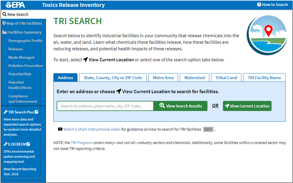
EPA Toxic Release Inventory [TRI]
The Toxics Release Inventory (TRI) stores information about the management of toxic chemicals by industrial and federal facilities, as well as their release into the environment.
Resources
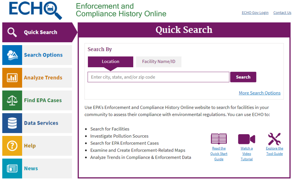
EPA Enforcement and Compliance History Online [ECHO]
The Enforcement and Compliance History Online (ECHO) tool is a public website that gives access to records of compliance with environmental regulations for facilities, as well as their violation.
Resources
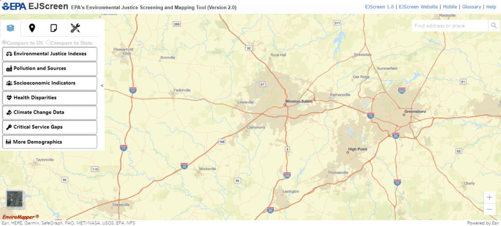
EPA Environmental Justice Screening and Mapping Tool [EJScreen]
The Environmental Justice Screen and Mapping Tool (EJSCREEN) is a mapping and screening tool that combines demographic and environmental indicators to identify areas where people are vulnerable.
Resources
- CWFNC Fact Sheet
- CWFNC Fact Sheet (Español)
- User Guide
- How-to Videos (For Version 1.0)
- More Info
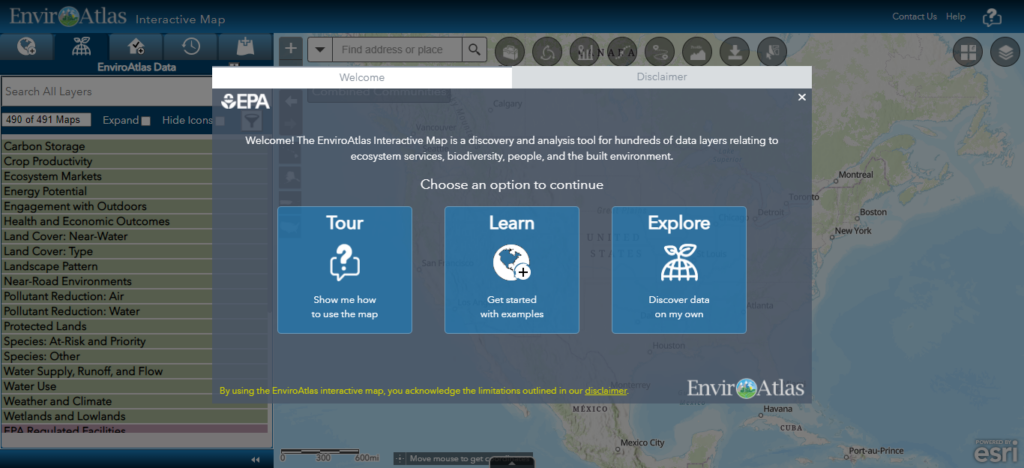
EPA EnviroAtlas Interactive Map
The EnviroAtlas Interactive Map is an easy-to-use mapping application with a variety of environmental, demographic, and spatial data available for analysis and research.
Resources
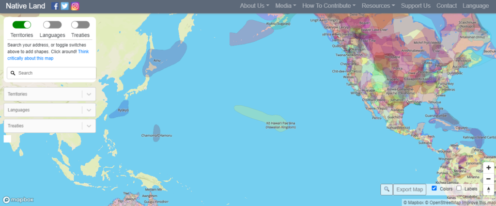
Native-Land.ca offers an online platform where users can interact with maps of Indigenous territories, treaties, and languages, and locate themselves and their favorite places on the map. The maps aim to visualize the complexity and diversity of Indigenous peoples, nations, and cultures, so non Indigenous and Indigenous people alike can increase their understanding and knowledge of the breadth and depth of Indigenous history in these places.
Resources